Чорнобильський радіаційно-екологічний біосферний заповідник
Chornobyl Radiation and Ecological Biosphere Reserve
ІСТОРІЯ СТВОРЕННЯ
Потреба в такій масштабній структурі як Чорнобильський радіаційно-екологічний біосферний заповідник з’явилась задовго до 26 квітня 2016 року, коли був виданий Указ Президента України про його утворення.
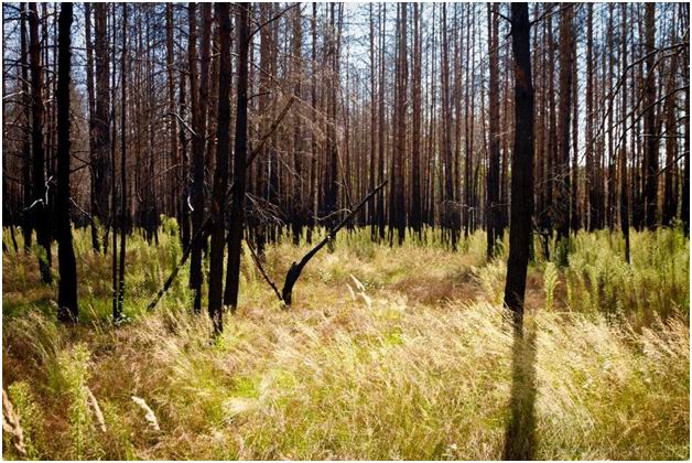
Вже через кілька років після аварії на ЧАЕС дослідники відмічали поступове відтворення тваринного і рослинного світу: сприятливими умовами для цього стали евакуація населення й припинення тут господарської діяльності. Вчені зафіксували зростання чисельності типових та появу рідкісних видів флори та фауни. Прогноз на майбутнє був сприятливий – очікувалось повільне перетворення антропогенних ландшафтів у наближені до природних комплекси Полісся.
Через 15-20 років після аварії на ЧАЕС стало зрозуміло: природа набагато потужніша навіть за такий страшний антропогенний фактор як Чорнобильська катастрофа. Територія в кілька сотень тисяч гектарів сама по собі стала заповідною: там знайшли притулок і комфортні умови для розмноження сотні видів не тільки типових, а й рідкісних червонокнижних тварин.
Протягом багатьох років науковці та громадськість повертались до питання створення заповідної території в зоні відчуження та зоні безумовного (обов’язкового) відселення.
Так, у 2007 році Указом Президента України в Іванківському районі Київської області було створено загальнозоологічний заказник загальнодержавного значення “Чорнобильський спеціальний”.
У 2013 році Міністерство екології та природних ресурсів схвалило клопотання щодо створення Чорнобильського біосферного заповідника. Після трьох років підготовки, обговорень та погоджень всіх необхідних документів був підписаний відповідний Указ Президента України «Про створення Чорнобильського радіаційно-екологічного біосферного заповідника».
З середини 2017 року Заповідник активно розвивається як самостійна бюджетна установа, що належить до сфери управління Державного агентства України з управління зоною відчуження.
З 2018 року Заповідник активно включається в міжнародні проекти, а науковим підрозділом організовуються перші наукові експедиції з вивчення флори і фауни території зони відчуження.
ЗАПОВІДНИК СЬОГОДНІ
Створений у межах зони відчуження та зони безумовного (обов'язкового) відселення найбільший за територією в Україні заповідник – базис для надзвичайно важливого унікального природного експерименту не тільки в нашій країні, але й у всьому світі.
Його ядром є Чорнобильський заказник та північні лісові масиви. Через Поліський екологічний коридор забезпечується зв’язок із Древлянським та Поліським природними заповідниками, регіональним ландшафтним парком «Міжрічинський», а також із Поліським державним радіаційно-екологічним заповідником Республіки Білорусь.
Флора Заповідника налічує 1256 видів судинних рослин, 120 видів лишайників та 20 видів мохів. Із Європейського червоного списку тут зростає п'ять видів рослин. Виявлено 46 видів флори, занесених до Червоної книги України. На водоймах зони відчуження зростають рослинні ценози, включені в Зелену книгу України.
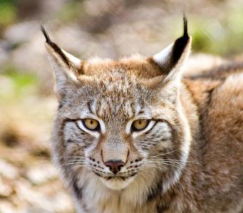
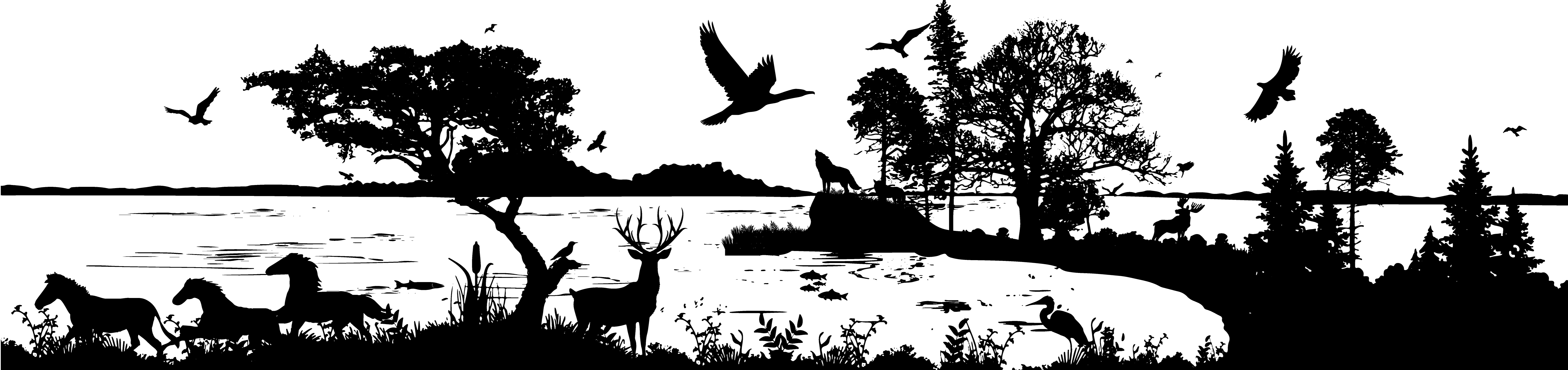
Тваринний світ Заповідника відповідає, в загальних рисах, складу фауни поліського регіону. Тут зафіксовано більше 300 видів хребетних тварин (із загалом 410, що зустрічаються в регіоні), з яких 75 видів (з 97 можливих) занесені до Червоної книги України. До Червоного списку Міжнародного союзу охорони природи занесено 14 видів фауни. Із Європейського червоного списку відзначено 16 видів. Значна кількість видів птахів перебуває під охороною Конвенції про збереження мігруючих видів диких тварин. До додатку 1 Бернської конвенції занесені 179 видів фауни.
Основна увага науковців зосереджена на вивченні рідкісних та типових видів фауни – великих хижаків (бурий ведмідь, рись, вовк) та копитних (лось, олень, косуля), популяція яких за останні роки суттєво зросла.
Неабиякий інтерес, як у науковців, так і відвідувачів зони відчуження, викликає унікальна, створена у 90-х роках, вільна популяція коней Пржевальського.
Сьогодні видовий склад тварин цієї території відповідає природній фауні даного географічного регіону – Полісся.
ЗАПОВІДНИК ЗАВТРА
На відміну від інших об’єктів природно-заповідного фонду України, Чорнобильський заповідник виконуватиме не тільки свою основну функцію – збереження місцевого біорізноманіття, але й стане важливим елементом «лабораторії просто неба», якою є вся зона відчуження.
З огляду на це визначено три пріоритетні напрями, за якими Заповідник буде розвиватись у найближчі роки.
Природоохоронний – збереження у природному стані найбільш типових природних комплексів Полісся та природної різноманітності ландшафтів, генофонду тваринного і рослинного світу; підтримання загального екологічного балансу, що забезпечить підвищення бар’єрної функції зони відчуження й зони безумовного (обов’язкового) відселення; стабілізація гідрологічного режиму та реабілітація територій, забруднених радіонуклідами.
Науково-дослідницький – екологічний моніторинг навколишнього природного середовища, інвентаризація об’єктів флори та фауни, екосистем; ведення Літопису природи; розроблення наукових рекомендацій щодо збереження і відтворення рідкісних видів рослинного і тваринного світу, відновлення природних екосистем; підготовка наукових матеріалів та рекомендацій, необхідних для провадження екологічної освітньо-виховної роботи та інших видів діяльності Заповідника.
Інформаційно-просвітницький – поширення знань та підвищення обізнаності щодо цінностей біологічного й ландшафтного розмаїття Заповідника, формування екологічної свідомості й виховання поваги до природи.
 Чорнобильський радіаційно-екологічний біосферний заповідник
Tel: +38 (044) 275-01-88
Електронна пошта: info@zapovidnyk.org.ua
Чорнобильський радіаційно-екологічний біосферний заповідник
Tel: +38 (044) 275-01-88
Електронна пошта: info@zapovidnyk.org.ua